2

Anafarta

Anafarta https://ngatapuwae.govt.nz/anafarta Two Turkish commanders, killed during the fierce battle for Hill 60, are buried in this graveyard. Ngā Tapuwae Trails /sites/default/files/stop/media/05%20the%20defence%402x.jpg

Two Turkish commanders, killed during the fierce battle for Hill 60, are buried in this graveyard.

GALL_Zone5_Loc_Turkish_Anafarta_48k2.mp3
Read this story

Anafarta

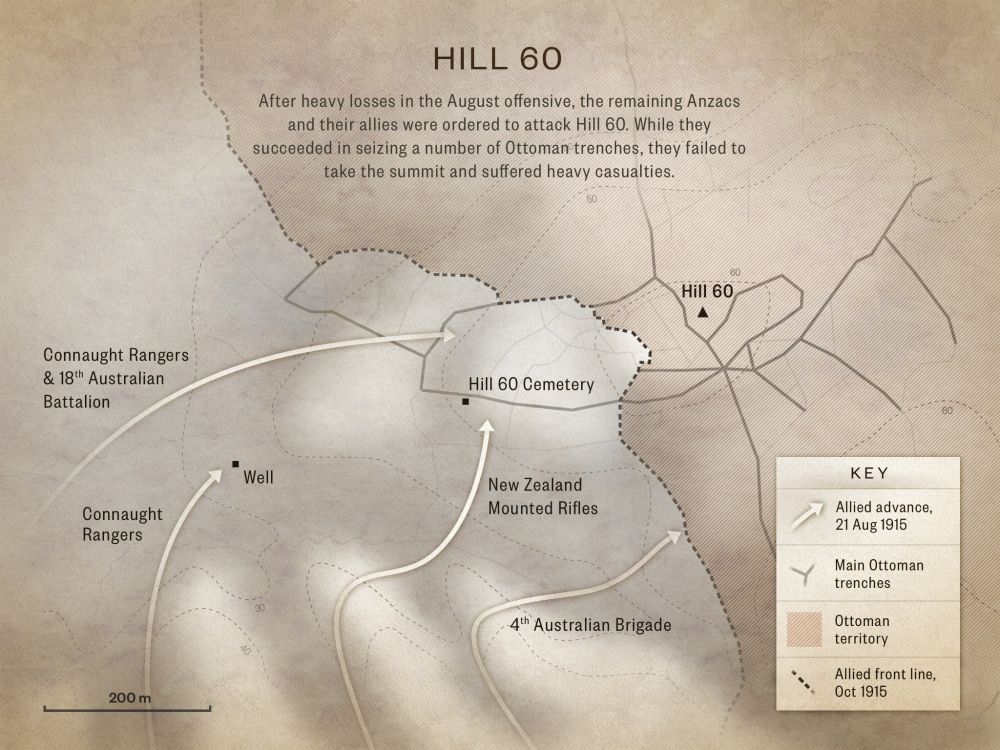
You are standing in the village graveyard at Anafarta. Two Turkish regimental commanders, Halit Bey and Ziya Bey, who were both killed during the battle for Hill 60 in late August 1915, are buried here. Halit Bey was killed at Hill 60 and Ziya Bey in Ashmedere, which is a gully just behind Hill 60. It was such a fierce fight that both regimental commanders got killed. 

Another solider buried here was nicknamed Sutlac Hussein by locals. Sutlac is a pudding, so he was ‘Hussein, lover of puddings’. 

While Sutlac Hussein was taking part in the battles at Hill 60 he witnessed one of the regimental commanders being shot while trying to round up men to attack.  Sutlac said that his comrades were unable to help pull the commander back into the trench. Whenever he moved the Anzacs fired on him. Finally, moaning in no-man’s-land, he died. That night his body was recovered by his comrades and eventually he was buried here. 

The older graveyard further along the road from here is a very old burial ground. It probably dates from well before the Turks came from Central Asia into this area during the 14th century. Before then, Romans, Byzantines, Hellenistic Greeks, people from the Balkans, and Hittites from Central Asia would have lived here. This place is like a crossroads between the Balkans, the Middle East and Asia. 

It looks like locals of this village of Anafarta were buried here many centuries ago. The big upright stones are called Balbal and have been here for many years. The use of these stones was part of a Balkan burial tradition, and they were used by Turks living in central Asia to mark graves. 

Unlike other Balbal, these ones don’t have any Arabic inscriptions, but they may have just worn off. No proper excavation has been carried out by archaeologists here because cemeteries are impossible to excavate as they are sacred ground. 

Even the origins of the name of this village – Anafarta – are unknown, and no one knows the name’s meaning and we don’t know when the village actually started. It’s a local name, but over time it has changed and the original meaning has been lost, but what we do know, is that this cemetery and the village in which it is located are both many centuries old. 
How to get here

Getting there

From Hill 60 return to the paved road and follow it as it curevs to the right, heading east to the village of Büyükanafarta.

After 3 kms, you will come to a heavily overgrown Turkish cemetery, located on the edge of the village, containing many graves and headstones dating from Ottoman times, including some from 1915 of Turkish soldiers who fell during the Gallipoli Campaign.

After 100 metres you come to the graves and memorial for two Turkish regimental commanders at the left of the road.

Where to stand

Stand and face the graves of the Turkish regimental commanders Halit Bey and Ziya Bey.

GPS
40°16'58"N
26°19'24"E
Decimal GPS
40.28297
26.32337
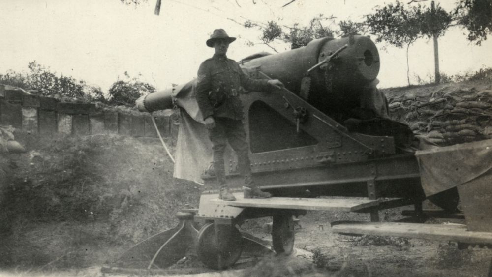
  • A Turkish naval gun on top of Hill 60, December 1918 - February 1919. This fortification would have been erected after the Allied evacuation to halt a repeat landing.
    A Turkish naval gun on top of Hill 60, December 1918 - February 1919. This fortification would have been erected after the Allied evacuation to halt a repeat landing.Credits

    National Army Museum 1992.1153 http://nam.recollect.co.nz/nodes/view/3347

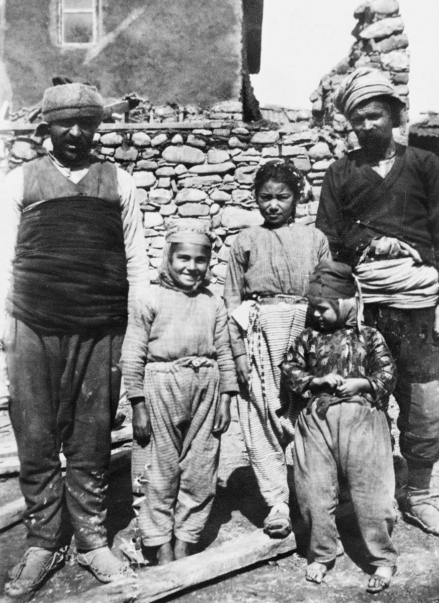
  • A Turkish family at Anafarta in 1919.
    A Turkish family at Anafarta in 1919.Credits

    Australian War Memorial P07906.019 http://www.awm.gov.au/collection/P07906.019/

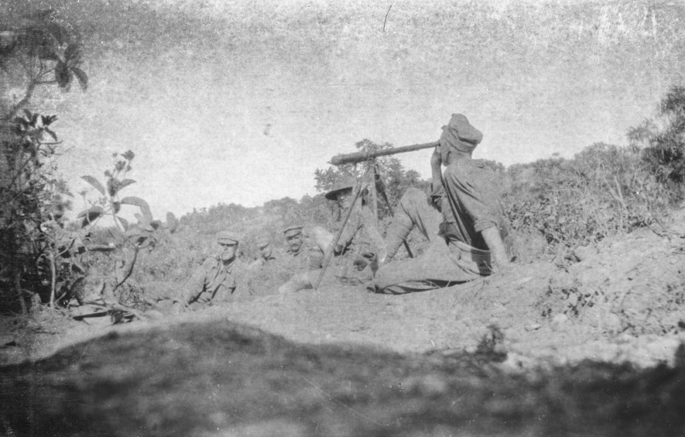
  • Soldier watching the bombardment of Anafarta through a telescope from Canterbury Slopes.
    Soldier watching the bombardment of Anafarta through a telescope from Canterbury Slopes.Credits

    Soldier watching a bombardment, Gallipoli, Turkey. Bryce Publishers :Photographs and sketches of the Gallipoli landing. Ref: PAColl-1661-1-5-2. Alexander Turnbull Library, Wellington, New Zealand. http://natlib.govt.nz/records/23104589

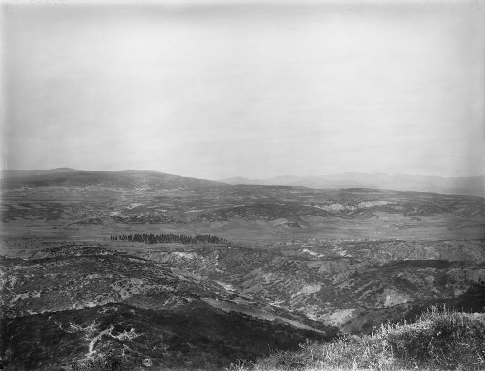
  • Anafarta taken from Hill 971 looking north. February/March 1919.
    Anafarta taken from Hill 971 looking north. February/March 1919.Credits

    Australian War Memorial G01845C http://www.awm.gov.au/collection/G01845C/

Stories & Insights

Grant was a chaplain at Gallipoli, who frequently braved enemy fire to attend to the men.

A cemetery on the Gallipoli peninsula circa 1918

It broke the evacuating soldiers' hearts to leave dead friends, and they were determined to honour them.

A last farewell to his mates.

For the remaining Anzacs, exposed in their trenches, a stormy winter was the last straw.

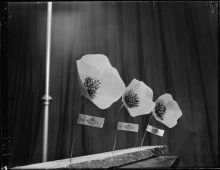
Artificial poppies for sale for Anzac Day photographed circa 23 April 1951

New Zealanders demanded a way to remember - so the first Anzac Day was held in 1916.

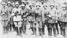
Commander Mustafa Kemal (Ataturk) is fourth from the left. He is standing with the officers and staff of his Anafarta group.

From the Ottoman defence forces emerged Atatürk who, after the war, would spearhead the birth of the Turkish republic.

Twisleton was one of 400 sick, exhausted New Zealanders who took part in the Battle for Hill 60.

Powles and his regiment were some of the last to leave Gallipoli – they were among the ‘diehards’.

Take the next trail

The next Ngā Tapuwae trail is Cape Helles. Proceed to Kilitbahir.
Link to the first stop

Decimal GPS:
40.27272
26.29299
Sequence:
1
Decimal GPS:
40.28297
26.32337
Sequence:
2
Decimal GPS:
40.23637
26.3596
Sequence:
3

Stop Images

Sequence:
1
Decimal GPS Real Location:
40.27272
26.29299
Sequence:
2
Decimal GPS Real Location:
40.28297
26.32337
Sequence:
3
Decimal GPS Real Location:
40.23637
26.3596